Red alert for fishing and naval communities as Bay of Bengal low pressure forecast to become a cyclone by Monday
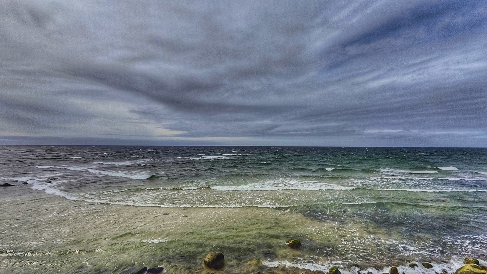
In its Saturday evening bulletin, the Department of Meteorology issued a red warning for strong winds and rough seas as a low-pressure area in the Bay of Bengal, then located about 650 kilometres east of Batticaloa, is expected to intensify into a cyclonic storm by Monday (16). The system is forecast to move northwestwards, away from Sri Lanka's eastern coast, becoming a depression on Sunday (15) and then a cyclonic storm over the southern and adjoining west-central Bay of Bengal around Monday (16). The projected track indicates it could strengthen further into a severe cyclonic storm by Wednesday (18).
Naval and fishing communities have been warned not to venture into the southeastern Bay of Bengal deep-sea areas or the waters off Sri Lanka's coast stretching from Kankesanthurai to Hambantota via Trincomalee and Pottuvil. The warning, in force from 5.30 am on Saturday, 14 November (Sri Lanka time) until further notice, covers the deep-sea zone between latitudes 05°N and 15°N and longitudes 80°E and 90°E. Those already operating in these sea areas have been advised to move immediately to safer locations, and the fishing community has been asked to stay alert to future forecasts and warnings. The next official bulletin is scheduled for Sunday evening, 15 November.
Strong winds and rough seas around the island
Showers or thundershowers are possible at several places in the sea areas off the coast from Kankesanthurai through Trincomalee, Batticaloa and Hambantota to Galle. Winds will blow from the northeast or north at 30 to 40 kilometres per hour around the island, increasing at times to about 60 kilometres per hour in the sea areas from Kankesanthurai through Trincomalee and Batticaloa to Hambantota, and to about 50 kilometres per hour in other sea areas around the island.
Rain and mist expected across the island
Cloudy conditions are expected across the island on Sunday, with showers at times in the Northern, North-Central, Eastern, Western and North-Western provinces and in the Galle and Matara districts. Fairly heavy rainfall exceeding 75 millimetres is likely in some areas of the Northern and Eastern provinces. Showers or thundershowers may develop in parts of the Uva and Central provinces and the Hambantota district during the evening or night, while misty conditions are expected in the early morning in parts of the Western, Sabaragamuwa, Central and Uva provinces and the Galle, Matara and Kurunegala districts. The public has been advised to take precautions against temporary strong winds and lightning associated with thundershowers.
Landslide warning for five districts
Following the heavy rain over recent days, a level-one landslide warning has been issued for parts of five districts, effective from 4 pm on Saturday (14) until 4 pm on Sunday (15), Sri Lanka time. The warning covers the Soranathota, Hali-Ela, Badulla, Bandarawela, Passara and Ella areas of the Badulla district; Norwood and Ambagamuwa Korale in the Nuwara Eliya district; Ayagama, Weligepola, Elapatha and Eheliyagoda in the Ratnapura district; Udunuwara and Yatinuwara in the Kandy district; and Aranayaka, Yatiyanthota and Mawanella in the Kegalle district. People living in landslide-prone areas have been urged to remain extremely vigilant and take safety precautions.
This report describes the dated forecasts and warning windows above. Conditions can change, so fishing crews and residents should follow subsequent official weather and disaster-management announcements rather than treat an earlier forecast as a guarantee of the track or timing.