AI
Defence data and geospatial systems
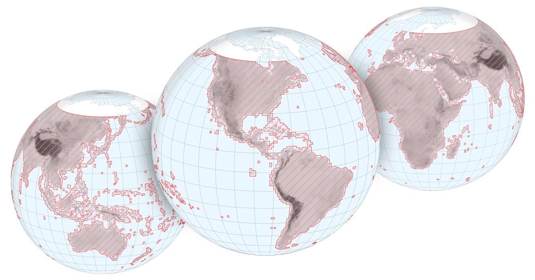
Ukraine's Ministry of Defence said on September 3, 2026 that its DELTA system is integrating satellite imagery, orthophotos and 3D terrain data.
The ministry said more than 1,700 orthophotos were added in July and that the 3D layer is being used for unmanned ground vehicle route planning.
This is an official wartime claim without independent verification.