Greenland study maps landslide tsunami risks, not a dated warning
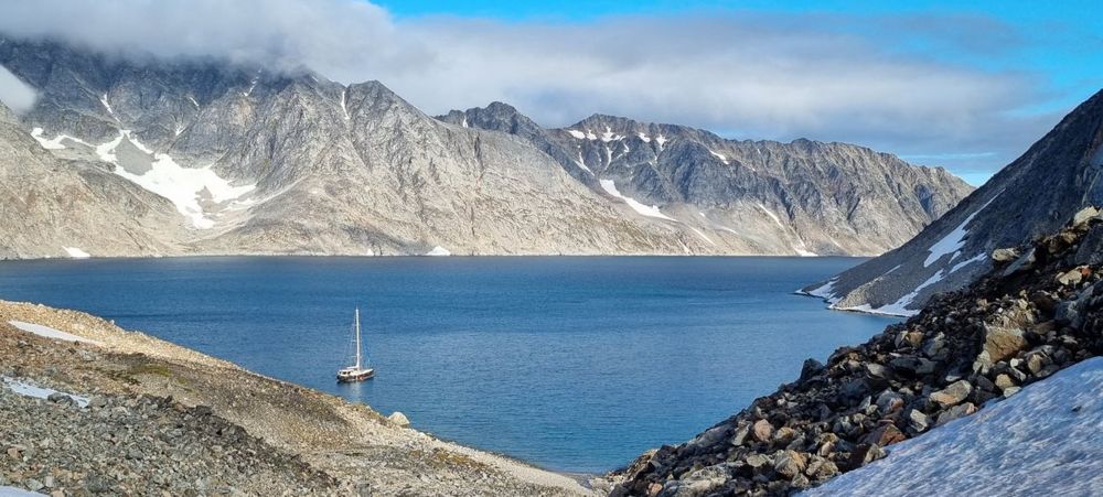
Researchers have mapped two moving mountain slopes in West Greenland that could generate dangerous waves if they collapse into nearby fjords. The Geological Survey of Denmark and Greenland (GEUS) says the sites in the Uummannaq fjord system are already monitored by Greenland's authorities. The research describes possible disaster scenarios, not a prediction that a tsunami will happen on a particular date.
The study, carried out with the Norwegian Geotechnical Institute, distinguishes a very large, relatively slowly moving slope in Karrat Fjord from a smaller slope in Kangerluarsuk Fjord that is developing faster. Computer modelling suggests that a complete collapse of the larger slope could produce wave run-up above 10 metres more than 100 kilometres away. Those figures depend on the modelled collapse scenario and local geography; they are not a forecast of an approaching wave.
GEUS says thawing permafrost and retreating glaciers are likely to contribute to instability as the Arctic warms. The investigation draws on field observations and satellite and GPS measurements, following the deadly 2017 landslide tsunami in the region. Its practical message is continued monitoring and risk planning for fjord communities, rather than treating every unstable slope as an imminent catastrophe.