Sri Lanka weather alert warns of rain, flood and landslide risks as Bay of Bengal system develops
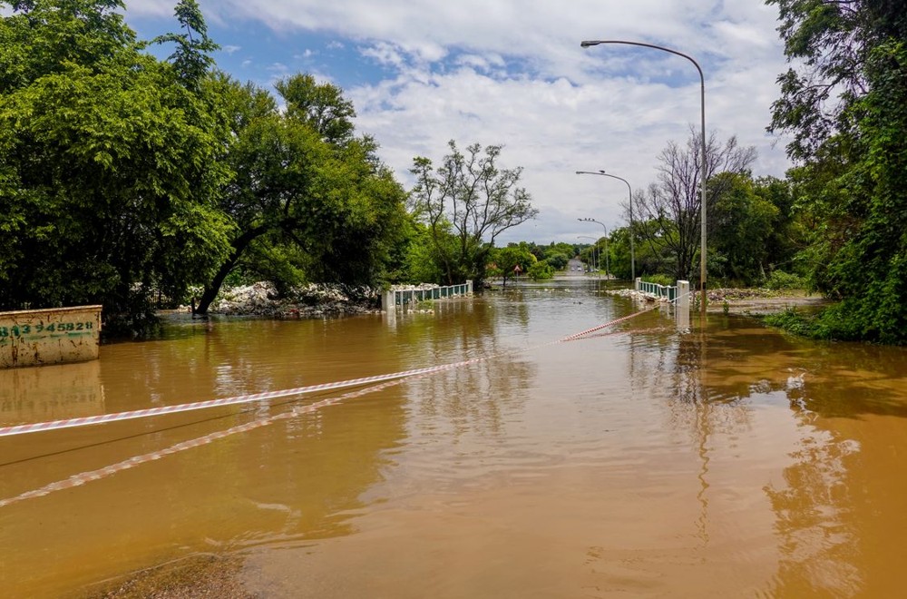
A weather alert issued on November 13 warned that Sri Lanka could face heavier rain, flash floods and landslides as a low-pressure system over the Bay of Bengal develops. The Asia Pacific Alliance for Disaster Management Sri Lanka said the system might intensify into a cyclonic storm, while stressing that neither its eventual route nor its strength was certain.
The organisation, known as A-PAD SL, said its Friday advisory drew on Department of Meteorology updates. It described a low-pressure area over the southeastern Bay of Bengal that was expected to develop into a depression around November 15. Further strengthening into a cyclonic storm over the central Bay of Bengal was considered possible around November 16.
Rainfall risk depends on the developing system
In that November 13 forecast, rainfall over Sri Lanka was expected to increase from November 14 and 15 and continue in the days that followed. The Northern, North Central, North Western, Western and Eastern provinces were identified as areas of particular concern.
A-PAD SL said a northward movement of the depression along the island's eastern coast could produce severe effects in Sri Lanka. This was a possible scenario in the advisory, not a confirmed track or a declaration that a cyclone had already formed.
The organisation warned that existing ground conditions could make additional rain more dangerous. Heavy rainfall during the preceding week had already left soil saturated across much of the country, increasing the risk of flash flooding and slope failures.
About 17 major reservoirs had reportedly reached spill level during the previous week. Landslide early warnings had also been issued for seven districts from November 12. These figures described the conditions cited in the dated alert, rather than a new reservoir or district count.
According to the advisory, a short burst of intense rain could trigger flash floods with little or no warning. It highlighted low-lying urban areas, places close to rivers and canals, reservoir spillways and hilly regions as locations needing particular care.
Thundershowers could bring gusts of around 60 to 70 kilometres an hour as well as lightning, the alert said. Sea conditions off the northern and eastern coasts could become rough as the system developed.
Precautions for households and businesses
A-PAD SL asked businesses and the public to prepare before conditions deteriorated. Its suggested measures included clearing drainage, moving vehicles and valuable equipment to higher ground, and avoiding journeys through floodwater.
The organisation also urged people to keep checking official weather forecasts and follow evacuation instructions from the Disaster Management Centre. The advice was to use the authorities' continuing updates as the basis for safety decisions, because the system's movement and intensity were still being assessed.
Further information was expected as meteorological authorities collected more evidence about the developing system. The alert therefore set out a risk that required preparation and monitoring, rather than a certainty about where a storm would strike.